Building new Cyclepaths and Bikelanes
One of the most frequent questions Cityscope users ask is how to better plan their infrastructure to support an array of new users.
Understanding Travel Patterns With Road Segments
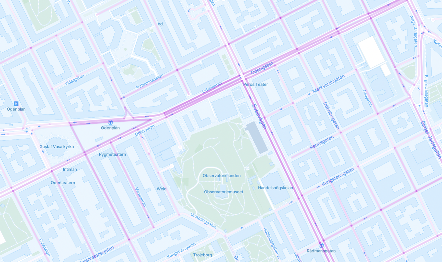
During a trip, most devices drop GPS pings every few minutes to identify their location. These "mid trip telemetries" or "breadcrumbs" can be combined together to reconstruct the route of a trip. For GDPR reasons, Cityscope does not show these specific routes at the individual trip level. Instead, we combine all of the breadcrumbs that fall on a particular street segment, to give the user an idea of which streets are most popular by mode.
Cityscope works by collecting all of the individual GPS points and "snapping" them to the closest road segment. This process gives a reasonable approximation of the most popular street segments, though some errors may occur:
-*GPS Error devices may incorrectly report their GPS position, or the transcription of that position may be compromised
- *Street Map Error Vianova's library of street segments comes from the Open Street Map project. Depending on the city, the map may include streets which devices are not actually using (for example, tunnels or highways), or alternatively, may not include "streets" devices are using (for example, trails through parks)

Comparing the usage of these street segments to the existing cycle network may support users in determining the best spots for new cyclepaths. Shared mobility users may travel in different ways than regular commuters- making more use of more direct routes or more highly trafficked corridors.
Updated 3 months ago
