Getting Started with Cityscope
This page will help you get started with Vianova. You'll be up and running in a jiffy!
Welcome to Cityscope! This Knowledge Base provides information about how to gain access to the full features in the Vianova dashboard.
We're excited that you are joining the Vianova team, and are looking forward to helping you improve mobility in your city. It's important that you take the following steps to set up your Cityscope account.
Create The First User
You should begin your Cityscope journey by registering for your Cityscope platform. The primary point of contact should take responsibility for setting up the organization for the first time.
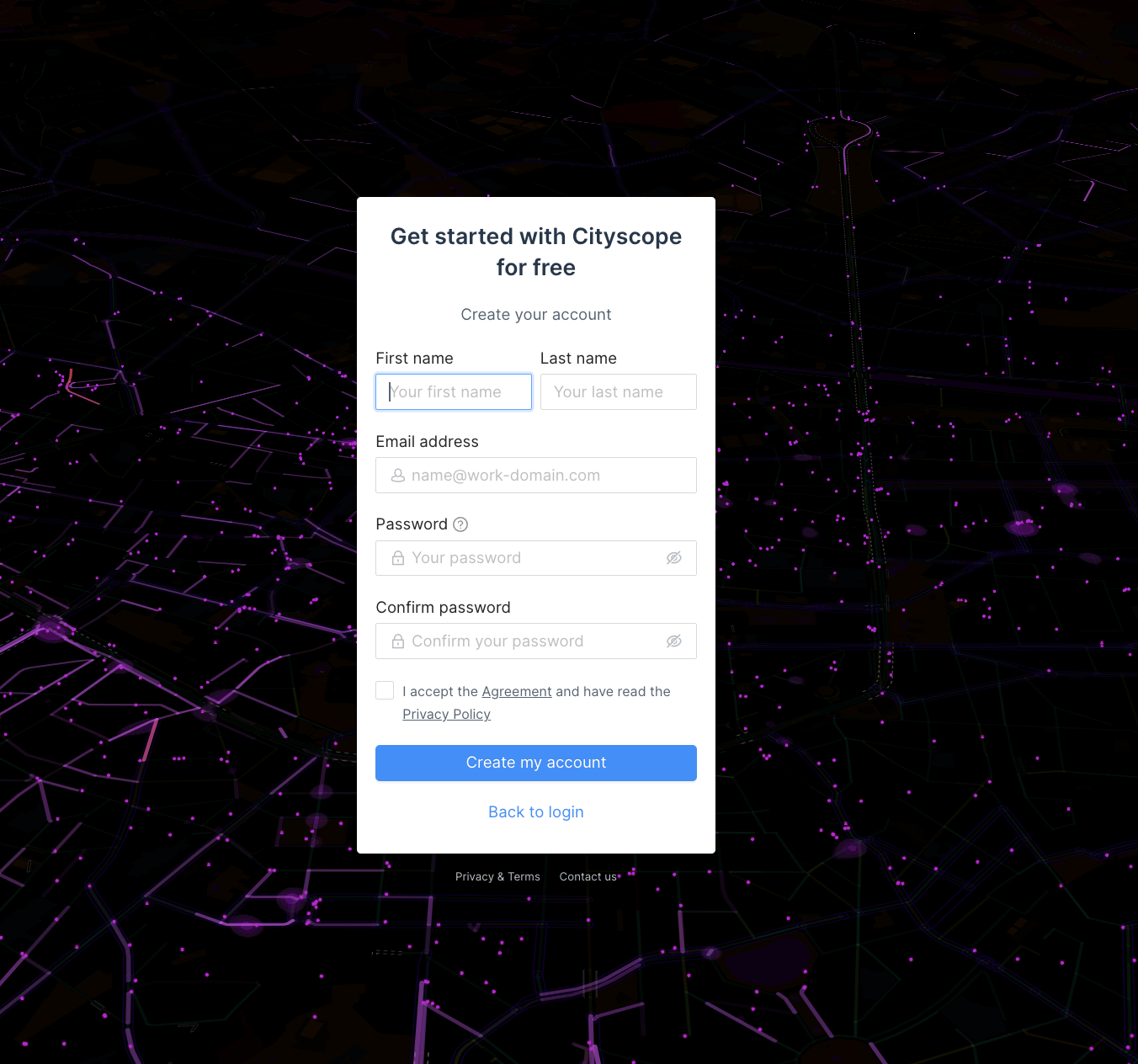
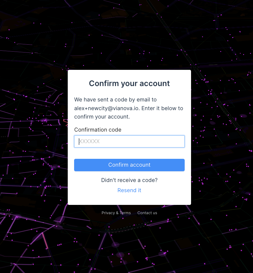
You will be required to include a code that you have received by email in order to confirm your account.
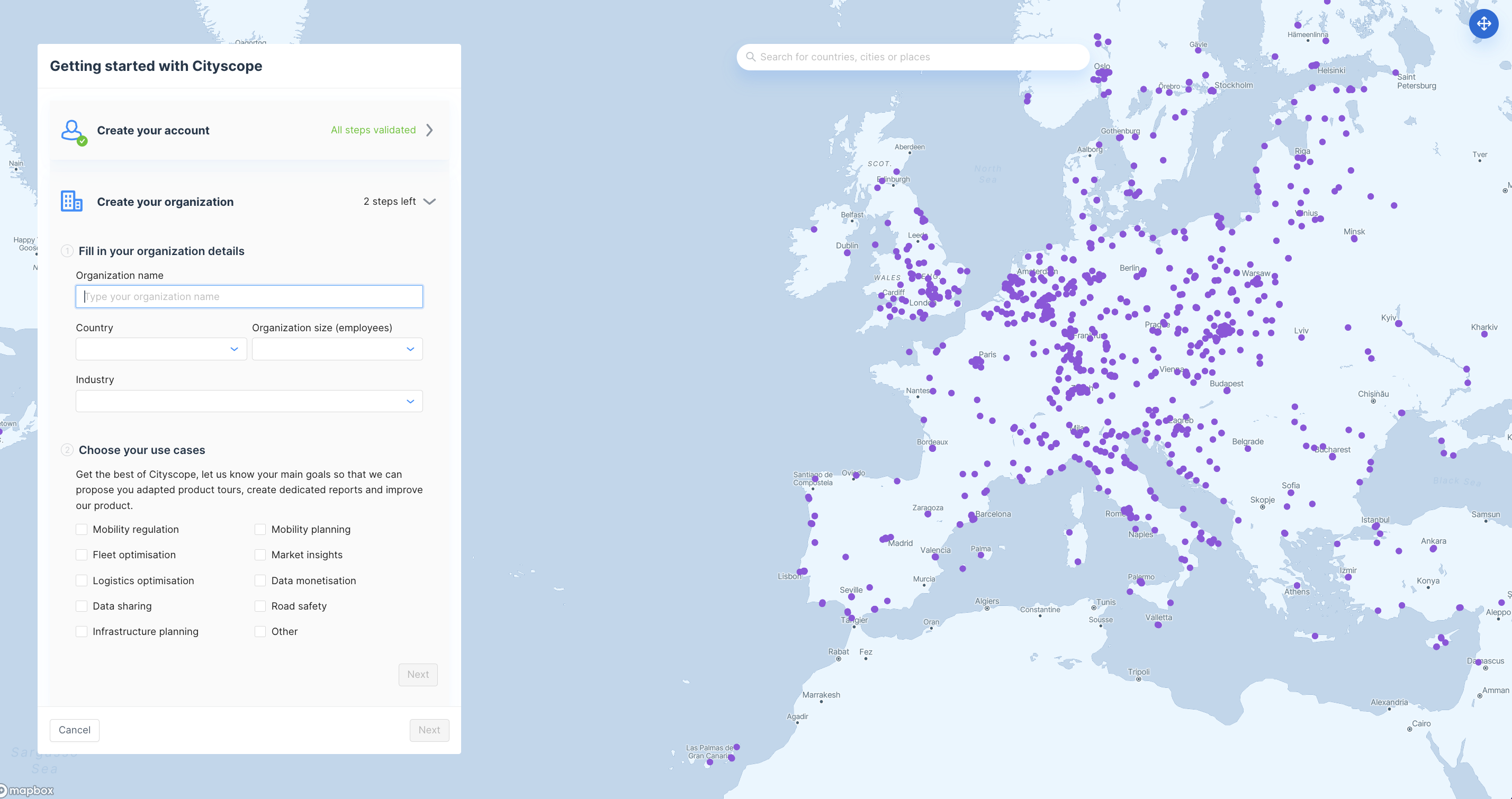
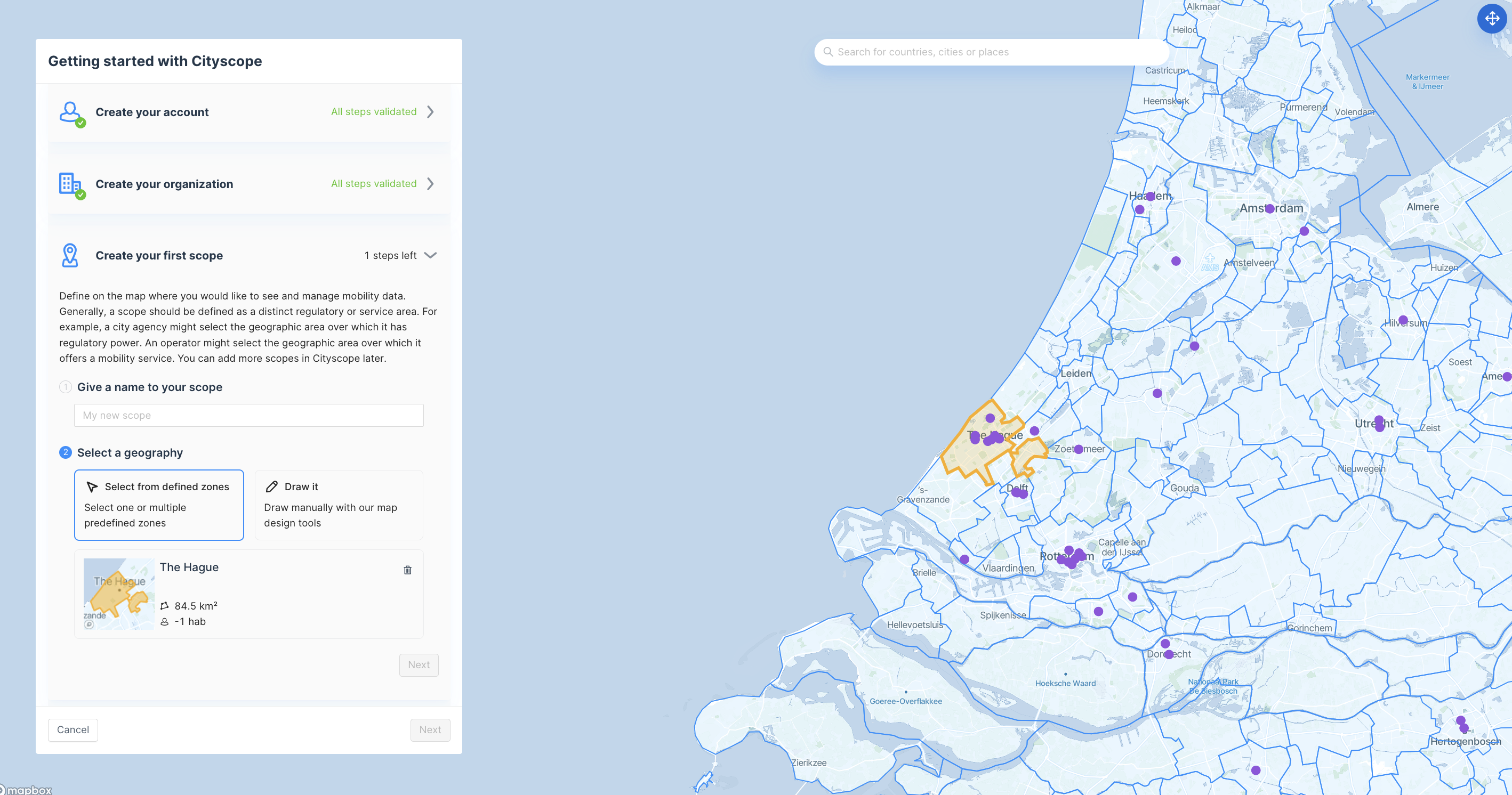
As part of the on-boarding process, you will create an Organization, as well as a scope. If you are a City, you will only have one scope- your city boundaries.
Request Feeds in your City
Feeds are the way that data is communicated in the Cityscope platform. Feeds are typically either GBFS or MDS, which are both global data specifications.
You can subscribe to feeds either at the initial onboarding process or as part of the "feed" section of your scope. A feed request is sent to the mobility provider, who will review and approve the data request.
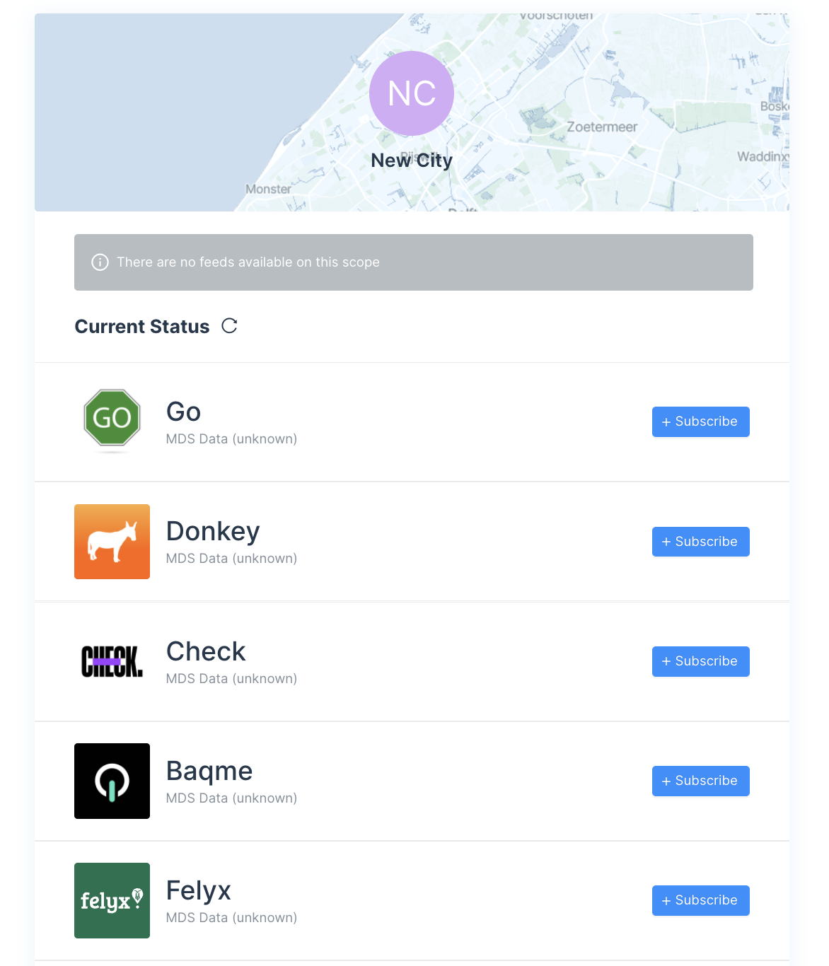
If you would like to receive data from a feed that isn't available, reach out to [email protected] to request access to the feed.
Add Other Users
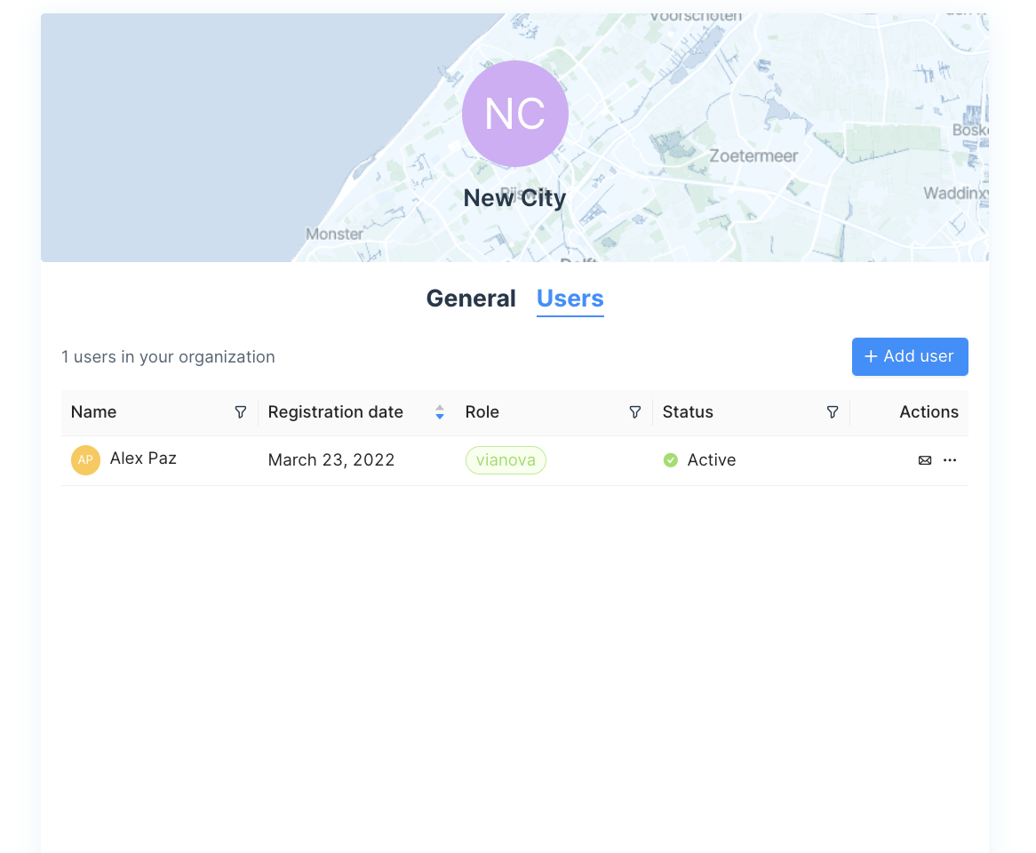
You should also be able to add new users through your organization's setting page. For cities, the primary roles are:
Admin -Who will have the ability to add and delete users
City Staff -Same abilities except the ability to add and delete users.
Provide Geofeatures
Cityscope is most useful if it uses geographies that you are familiar with. Please share geofeatures such as districts and subdistricts with [email protected]. We can also show supplemental information such as cyclepaths, public transport stops, or other points of interest- please provide the appropriate shapefiles or GeoJSONs to us for inclusion in your platform.
Updated 3 months ago
