Data Layers
The VIP platform allows you to visualize and analyze different geospatial data layers.
Standard Layer
Based on the Solution you are looking for, some Vianova Standard Layer will be charged by default on your platform.
| Layers | |
|---|---|
| Road Safety | Collisions, Harsh Breaking, Overspeeding, VRUs, Speed Limit |
| Freight Management | Freight Stops, Freight Trip |
| Micro-mobility | Hourly stat, infringements |
BYOD (Bring Your Own Data) Layer
Supported Files Format
- GeoJSON files
- CSV files with geographic coordinates (lat/lon)
Add Data and Produce a New Layer
Vianova offers users the unique ability to bring their own data in the form of a static CSV or GeoJSON object. To be uploaded, the data must have valid geography coordinates (lat/lon). Files of a size smaller than 200mb can be uploaded directly to the platform, larger files or a connection to an API can be handled through a Customer Solutions Manager.
File uploads can be handled via drag and dropon the Data section.
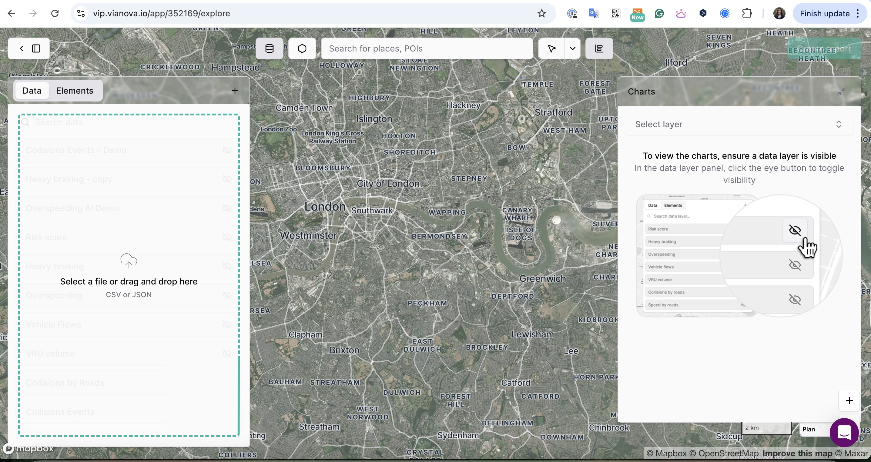
The VIP provides a progress bar tracker for file upload and integration, as well as error messages for unsuccessful file uploads

Once data has been added via this process, the layer can be edited and modified as previously discussed.
Layer Management
VIP offers powerful features to manage, edit, and filter your data layers, allowing you to focus on the most relevant information for your analysis.
Updated 8 months ago