Layers and mapping
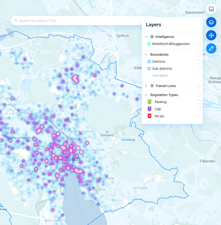
Maps are fundamental to Cityscope, allowing you to explore your data geographically. To give context to your mapped data, Cityscope provides a number of contextual layers. Depending on the configuration of your scope, these can include:
- Administrative boundaries
- Public transit lines
- Regulation zones
- AI-generated intelligence layers

Intelligence layers
Cityscope provides automatically generated layers that take into the historic data within your scope. These are generated every week and aim to provide additional intelligence to your decisions.
Mobility Hub Suggestion
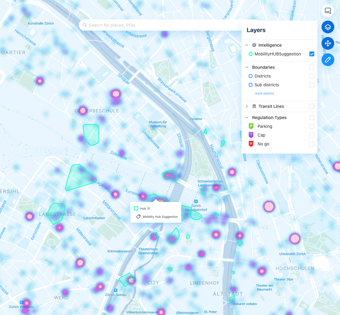
Using historical data from your scope, our machine learning model calculates the top areas in which devices tend to cluster. By selecting MobilityHUBSuggestion in Layers, you will see these clusters on the map. They represent areas where a devices tend to cluster when parked.
These are areas in which you might consider adding mobility hubs or dedicated parking, if that is not the case yet.

Updated 3 months ago
