Open data standard and Geospatial datasets
GeoJSON and coordinate system
At Vianova we truly believe in Open Data standard as a powerful enabler for compatibility and interoperability
and this apply to how we interact with geographical datasets. Our platform is natively compatible with GeoJSON which is a popular file format in the GIS web open world.
Cityscope can import geographic boundaries in a format called GeoJSON. That means to upload geographic data into Cityscope from your existing GIS systems you will need to export it to GeoJSON. All modern GIS software supports GeoJson by default.
GeoJSON coordinate systemThe coordinate reference system for all GeoJSON coordinates is a
geographic coordinate reference system, using the World Geodetic
System 1984 (WGS 84) [WGS84] datum, with longitude and latitude units
of decimal degrees
If you only have a Shapefile or other kind of geographic format, use a tool like Mapshaper to convert this data into GeoJSON.

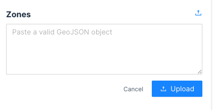
While the current GeoJSON standard expects coordinates to be in EPSG:4326, we know that this is not always the case. To ease the import of data from other coordinate systems, Cityscope automatically converts coordinates from other systems into the GeoJSON standard. Importing your data is as easy as copy and pasting it into the text box you see when creating zones and regulations.
{

  "type": "FeatureCollection",

  "features": [

    {

      "type": "Feature",

      "properties": {},

      "geometry": {

        "type": "Polygon",

        "coordinates": [

          [

            [

              2.3449909687042236,

              48.854345707738524

            ],

            [

              2.3469972610473633,

              48.85359741516321

            ],

            [

              2.3482739925384517,

              48.85565872239546

            ],

            [

              2.3465466499328613,

              48.85615991783329

            ],

            [

              2.3449909687042236,

              48.854345707738524

            ]

          ]

        ]

      }

    }

  ]

}
You can create and test valid GeoJSON objects with the tools below:
geojson.io – tool to visualize and create geojson data
geojsonlint.com – tool to validate geojson
awesome geojson – list of geojson tooling
Updated 3 months ago
